FRENCH ALPS · VILLAR-D’ARÊNE → COL DU LAUTARET / ALPINE PASS
Col du Lautaret
Follow the Romanche valley into open alpine terrain. A shorter ascent with wide views on the road to the pass.
- DISTANCE
- 7.3km
- CLIMBING
- 413m
- AVG. GRADE
- 5.6%
THE ROUTE / 01
Col du Lautaret
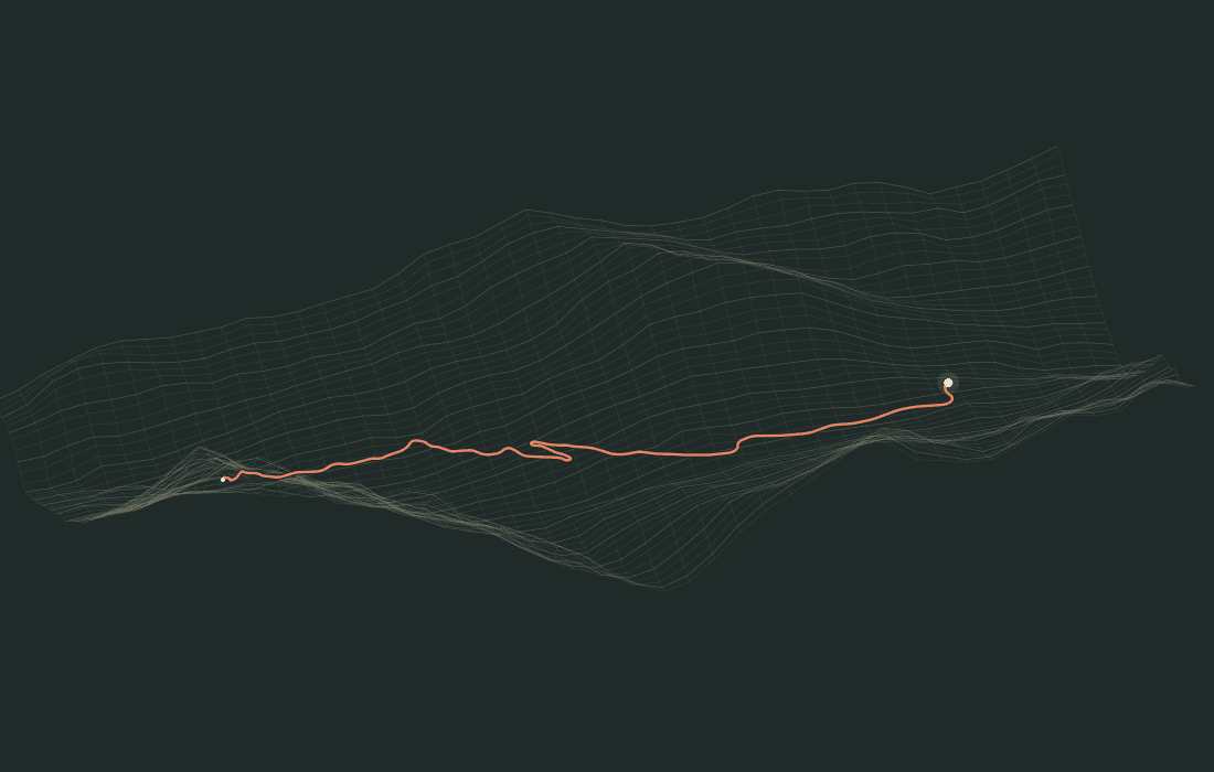
- DISTANCE
- 7.3km
- CLIMBING
- 413m
- AT THE FINISH
- 2,053m
THE ELEVATION PROFILE
A road that
rises to meet you.
Smoothed source elevation, not a climb survey. Average grade is net elevation gain divided by route distance.
WHEN YOU RIDE
The road changes.
You keep moving.
Automatic hills follow the course on an FTMS trainer with simulation support. Your measured power and rider weight drive virtual movement. Pause releases hill control; resuming is explicit.
Your saved activity retains the route you actually covered, including an unfinished climb. The preview above is an exploration of the route, not a recording of your ride.
Route sources and creditsSOURCE & ATTRIBUTION
© OpenStreetMap contributors (ODbL); route by BRouter; elevation SRTM / CGIAR-CSI
Source reference ↗ · 2026-10-23
Picture your next ride.
Keep exploring routes ↗